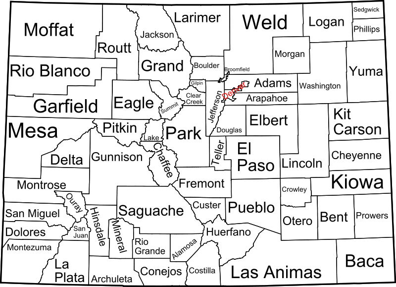
File:Map of Colorado counties, labelled.svg

Size of this PNG preview of this SVG file: 800 × 579 pixels. Other resolutions: 320 × 232 pixels | 640 × 463 pixels | 1,024 × 741 pixels | 1,280 × 926 pixels | 2,560 × 1,853 pixels | 6,233 × 4,511 pixels.
Original file (SVG file, nominally 6,233 × 4,511 pixels, file size: 635 KB)
File history
Click on a date/time to view the file as it appeared at that time.
| Date/Time | Thumbnail | Dimensions | User | Comment | |
|---|---|---|---|---|---|
| current | 09:13, 12 February 2009 |  | 6,233 × 4,511 (635 KB) | wikimediacommons>Retro00064 | Changed text to paths to attempt to remove grainyness when scaled down. |
File usage
The following pages on the English Wikipedia link to this file (pages on other projects are not listed):

