
File:Métropole de Lyon map-blank.svg

Size of this PNG preview of this SVG file: 450 × 600 pixels. Other resolutions: 180 × 240 pixels | 360 × 480 pixels | 576 × 768 pixels | 768 × 1,024 pixels | 1,536 × 2,048 pixels | 1,423 × 1,897 pixels.
Original file (SVG file, nominally 1,423 × 1,897 pixels, file size: 906 KB)
Summary
| Description |
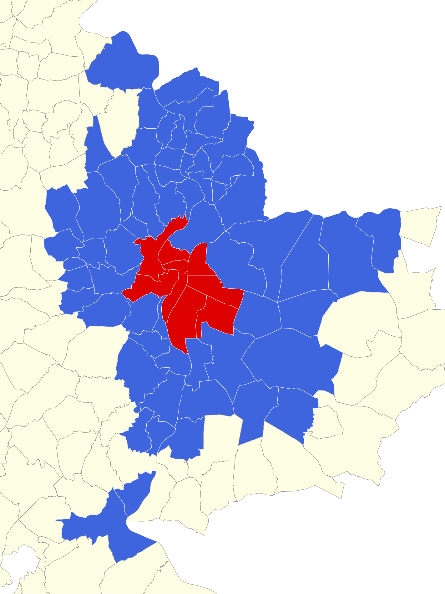
English: Map of Urban Community of Lyon at 2011 january, first. Rhône, France. Français : Carte des communes du Grand Lyon au 1er janvier 2011. Rhône, France. |
||
| Date | |||
| Source |
|
||
| Author | |||
| Other versions |
Derivative works of this file: Géolocalisation Grand Lyon 2011.png
| ||
| Attribution (required by the license) | © Sémhur / Wikimedia Commons / | ||
| SVG | W3C-validity not checked.
|
||
| Graphic Lab |

| Camera location | | View this and other nearby images on: OpenStreetMap |
|---|
Licensing
I, the copyright holder of this work, hereby publish it under the following licenses:
| Copyleft: This work of art is free; you can redistribute it and/or modify it according to terms of the Free Art License. You will find a specimen of this license on the Copyleft Attitude site as well as on other sites. |
This file is licensed under the Creative Commons Attribution-Share Alike 4.0 International, 3.0 Unported, 2.5 Generic, 2.0 Generic and 1.0 Generic license.
- You are free:
- to share – to copy, distribute and transmit the work
- to remix – to adapt the work
- Under the following conditions:
- attribution – You must give appropriate credit, provide a link to the license, and indicate if changes were made. You may do so in any reasonable manner, but not in any way that suggests the licensor endorses you or your use.
- share alike – If you remix, transform, or build upon the material, you must distribute your contributions under the same or compatible license as the original.
You may select the license of your choice.
File history
Click on a date/time to view the file as it appeared at that time.
| Date/Time | Thumbnail | Dimensions | User | Comment | |
|---|---|---|---|---|---|
| current | 14:36, 2 June 2014 | | 1,423 × 1,897 (906 KB) | wikimediacommons>Sémhur | Ajout de la commune de Quincieux |
File usage
No pages on the English Wikipedia link to this file. (Pages on other projects are not counted.)
Global file usage
The following other wikis use this file:
- Usage on bn.wikipedia.beta.wmflabs.org