
File:LocationBritishIsles.png
No higher resolution available.
LocationBritishIsles.png (414 × 516 pixels, file size: 9 KB, MIME type: image/png)
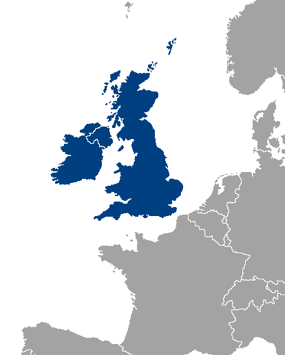
Location map of Great Britain and Ireland.
| |
This work has been released into the public domain by its author, Vardion, at the English Wikipedia project. This applies worldwide. In case this is not legally possible: |
File history
Click on a date/time to view the file as it appeared at that time.
| Date/Time | Thumbnail | Dimensions | User | Comment | |
|---|---|---|---|---|---|
| current | 00:46, 14 November 2013 | | 414 × 516 (9 KB) | wikimediacommons>Fobos92 | . |
File usage
The following pages on the English Wikipedia link to this file (pages on other projects are not listed):
Global file usage
The following other wikis use this file:
- Usage on simple.wikipedia.beta.wmflabs.org