
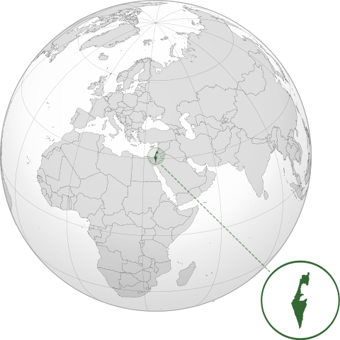
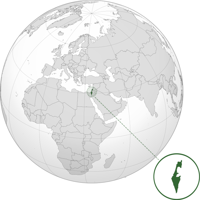
File:ISR orthographic.svg

Size of this PNG preview of this SVG file: 600 × 600 pixels. Other resolutions: 240 × 240 pixels | 480 × 480 pixels | 768 × 768 pixels | 1,024 × 1,024 pixels | 2,048 × 2,048 pixels.
Original file (SVG file, nominally 600 × 600 pixels, file size: 1.39 MB)
Summary
| Description | |
| Date | |
| Source |
Own work with Natural Earth Data This W3C-unspecified vector image was created with Inkscape . |
| Author | Addicted04 |
Licensing
I, the copyright holder of this work, hereby publish it under the following license:
This file is licensed under the Creative Commons Attribution-Share Alike 3.0 Unported license.
- You are free:
- to share – to copy, distribute and transmit the work
- to remix – to adapt the work
- Under the following conditions:
- attribution – You must give appropriate credit, provide a link to the license, and indicate if changes were made. You may do so in any reasonable manner, but not in any way that suggests the licensor endorses you or your use.
- share alike – If you remix, transform, or build upon the material, you must distribute your contributions under the same or compatible license as the original.
File history
Click on a date/time to view the file as it appeared at that time.
| Date/Time | Thumbnail | Dimensions | User | Comment | |
|---|---|---|---|---|---|
| current | 03:46, 17 March 2022 | | 600 × 600 (1.39 MB) | wikimediacommons>Chaddy | Reverted to version as of 06:27, 24 March 2019 (UTC), there is already another map for the disputed borders: File:Israel (orthographic projection) with disputed territories.svg |
_with_disputed_territories.svg)
File usage
No pages on the English Wikipedia link to this file. (Pages on other projects are not counted.)