
File:France location map-Regions and departements-2016.svg

Size of this PNG preview of this SVG file: 624 × 600 pixels. Other resolutions: 250 × 240 pixels | 499 × 480 pixels | 799 × 768 pixels | 1,066 × 1,024 pixels | 2,131 × 2,048 pixels | 2,000 × 1,922 pixels.
Original file (SVG file, nominally 2,000 × 1,922 pixels, file size: 551 KB)
Summary
| Description |
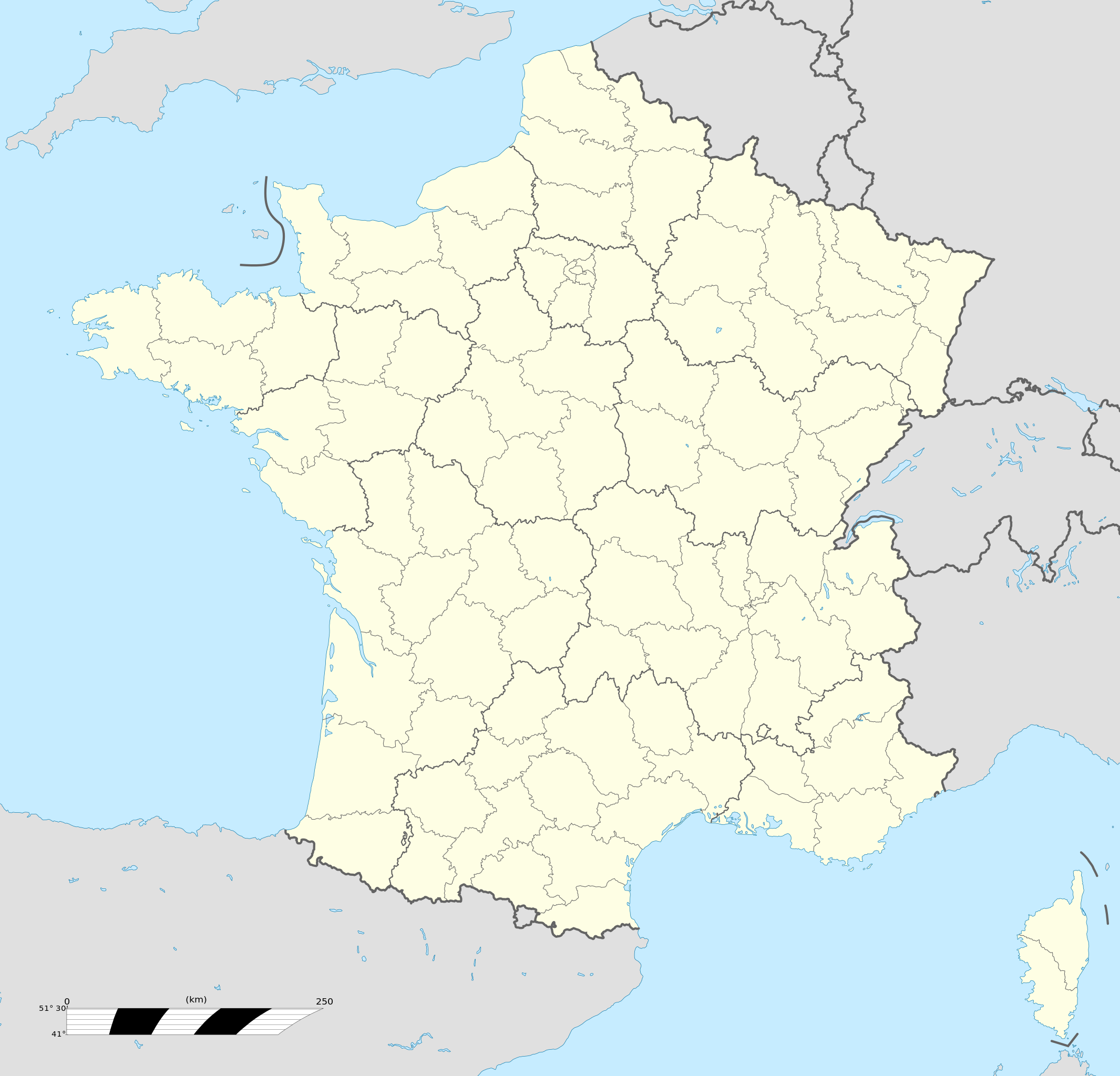
Français : Carte administrative vierge de la France destinée à la géolocalisation, avec régions et départements distingués.
Échelle approximative : 1:3 000 000
English: Blank administrative map of France for geo-location purpose, with regions and departements distinguished.
Approximate scale : 1:3,000,000
Projection équirectangulaire, données WGS84
Limites géographiques de la carte :
|
| Date | |
| Source |
This file was derived from: France location map-Regions and departements-2015.svg |
| Author | Superbenjamin |
| Other versions |
|
| SVG development | This locator map was created with Adobe Illustrator, and with Inkscape. This locator map uses embedded text/digits. |

Licensing
I, the copyright holder of this work, hereby publish it under the following license:
This file is licensed under the Creative Commons Attribution-Share Alike 4.0 International license.
- You are free:
- to share – to copy, distribute and transmit the work
- to remix – to adapt the work
- Under the following conditions:
- attribution – You must give appropriate credit, provide a link to the license, and indicate if changes were made. You may do so in any reasonable manner, but not in any way that suggests the licensor endorses you or your use.
- share alike – If you remix, transform, or build upon the material, you must distribute your contributions under the same or compatible license as the original.
File history
Click on a date/time to view the file as it appeared at that time.
| Date/Time | Thumbnail | Dimensions | User | Comment | |
|---|---|---|---|---|---|
| current | 13:46, 19 October 2017 | | 2,000 × 1,922 (551 KB) | wikimediacommons>Sting | No borders over the Lake of Constance |
File usage
The following pages on the English Wikipedia link to this file (pages on other projects are not listed):
Global file usage
The following other wikis use this file:
- Usage on es.wikipedia.beta.wmflabs.org
- Usage on simple.wikipedia.beta.wmflabs.org
- Paris
- Cannes
- Template:French commune
- Joyeuse, Ardèche
- Lavilledieu
- Rochemaure
- Ruoms
- Kanfen
- Saint-Maurice-d'Ardèche
- Saint-Julien-Boutières
- Eygalières
- Malemort-du-Comtat
- Mérindol
- Saint-Florent-des-Bois
- Crouttes-sur-Marne
- Lehaucourt
- Trosly-Loire
- Contes, Pas-de-Calais
- Preures
- Tingry
- Willeman
- Saint-Yzans-de-Médoc
- Barie
- Arrembécourt
- Beaumont-en-Auge
- Cottun
- Gavrus
- Juvigny-sur-Seulles
- Saint-Lys
- User:Yottie/Paris
- Template:French commune/doc