
File:Badger species map.png
Size of this preview: 800 × 338 pixels. Other resolutions: 320 × 135 pixels | 640 × 270 pixels | 1,480 × 625 pixels.
Original file (1,480 × 625 pixels, file size: 45 KB, MIME type: image/png)
Summary
| Description |
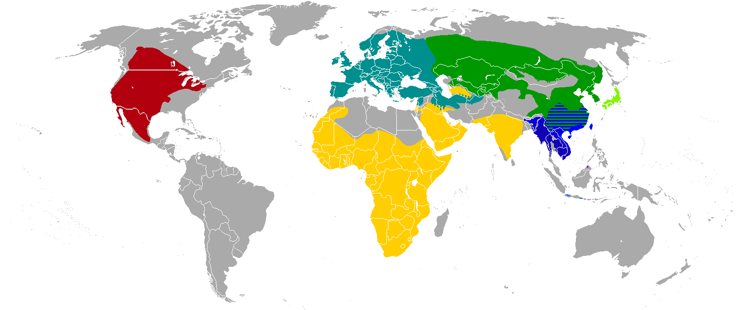
English: The inspiration was too confusing, so I recompiled this from a set of existing maps available on the Commons.
|
| Date | |
| Source | Own work |
| Author | Quintucket |
| Permission (Reusing this file) |
This file is licensed under the Creative Commons Attribution-Share Alike 3.0 Unported license. Attribution: IUCN Red List of Threatened Species, species assessors and the authors of the spatial data.
|
| Other versions |
English: Other maps of common badger ranges
English: Individual maps of badger ranges. Used for this map.
|


Licensing
This file is licensed under the Creative Commons Attribution-Share Alike 3.0 Unported license.
- You are free:
- to share – to copy, distribute and transmit the work
- to remix – to adapt the work
- Under the following conditions:
- attribution – You must give appropriate credit, provide a link to the license, and indicate if changes were made. You may do so in any reasonable manner, but not in any way that suggests the licensor endorses you or your use.
- share alike – If you remix, transform, or build upon the material, you must distribute your contributions under the same or compatible license as the original.
File history
Click on a date/time to view the file as it appeared at that time.
| Date/Time | Thumbnail | Dimensions | User | Comment | |
|---|---|---|---|---|---|
| current | 09:13, 31 August 2011 | | 1,480 × 625 (45 KB) | wikimediacommons>Quintucket | Slightly cleaned up national borders. |
File usage
The following pages on the English Wikipedia link to this file (pages on other projects are not listed):